Lost on a day hike? The first 30 minutes decide the next few hours.
The first problem is not hunger or gear. It is drift: continuing to walk while the route becomes less certain. Stop, build a reliable location report, and make one deliberate decision about retracing or seeking help.
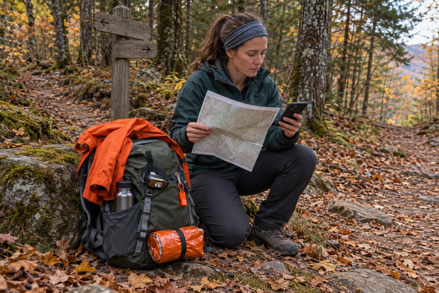
Minute 0: stop before uncertainty becomes distance
As soon as the trail no longer matches your map or memory, stop. Sit or stand somewhere safe, slow your breathing, and look after immediate problems: an injury, dangerous weather, rising water, falling rocks, fire, unstable trees, or exposure. If any of those threaten the place where you stopped, move only far enough to reach safer ground.
Keep companions together. Do not send one person down each trail to “check.” Splitting the group creates more moving targets and can turn one navigation problem into several. Note the time and, if it is safe, mark the exact place where everyone stopped.
Minute 5: build a location report before touching the map
Record what the phone or GPS already knows before the battery declines. Take a screenshot of coordinates, the map screen, and the battery percentage. Write the coordinates on paper too. Do not rely on a blue dot alone: note the coordinate format, because degrees-minutes-seconds and decimal degrees are not interchangeable unless converted correctly.
Add observations a dispatcher or ranger can use:
- trail or park name and the trailhead where you began;
- last location you recognized with confidence;
- time you passed that point and direction of travel;
- nearby junctions, signs, streams, bridges, ridgelines, buildings, or unusual terrain;
- number of people, clothing colors, equipment, injuries, medical needs, and remaining water;
- current weather, visibility, and whether darkness is approaching.
The National Park Service asks lost visitors who call 911 to share coordinates when available, the starting area, last known location, visible landmarks, clothing colors, equipment, and relevant medical conditions. That is a better report than “somewhere north of the parking lot.”
Minute 10: attempt location, not motion
Compare independent clues. Orient the paper map with a compass. Check the offline map. Look for trail geometry, contours, watercourses, junction numbers, blazes, and visible landforms. Review photos taken during the hike; their timestamps and backgrounds may reveal when the route changed. If your device shows a track, inspect it without assuming the base map or GPS fix is perfect.
Do not descend a drainage because it “must reach a road.” Drainages can lead into cliffs, waterfalls, dense brush, cold water, or terrain that is harder for rescuers to search. Do not climb an exposed slope solely to chase cell service. A signal is useful; a fall or weather exposure is worse.
Minute 15: make the retrace-or-help decision
| Retrace only when | Stop and seek help when |
|---|---|
| You can identify the route you just traveled, not merely a guessed direction. | Your last certain point is unclear or multiple routes look equally plausible. |
| Terrain, weather, footing, daylight, and everyone’s condition make the return safe. | Someone is injured, exhausted, very cold, overheated, or medically vulnerable. |
| You have navigation tools and a clear point at which you will stop if the route does not confirm itself. | Darkness, fog, wildfire, flooding, snow, high wind, or steep terrain is closing your margin. |
| You have not already called for rescue and promised to remain at a reported location. | You have contacted rescuers or sent coordinates and have been told to stay put. |
NPS guidance allows a safe retrace when you can use your knowledge and tools to return to the planned route. If you cannot retrace, it shifts to seeking help. Once you report your position, stay there unless an immediate threat to life forces a move. If you must move, leave a visible note or marker only when it can be done without damaging the site, and report the new position as soon as possible.
Minute 20: make one useful call
If you have service and cannot safely retrace, call 911 or the local emergency number. Use voice first unless local guidance or poor service makes text the practical option. Give the location report, then follow the dispatcher’s instructions. Ask whether to conserve the phone, whether rescuers can text, and when to check in again.
After the call, reduce battery drain: dim the screen, close unnecessary apps, keep the phone warm and dry, and use airplane mode only if it will not interfere with the contact plan. A phone is navigation, communication, light, and a clock; do not spend its remaining energy on constant map refreshing or casual calls.
Minute 25: protect temperature before comfort
Put on layers while you still feel warm. Add rain protection before clothing is soaked. Insulate yourself from cold or wet ground. Choose a shelter location away from runoff channels, flood zones, dead limbs, cliff edges, isolated high points, and other hazards. The goal is a visible, safe waiting place, not a hidden campsite.
Autumn changes the margin quickly. Yosemite's September 2026 conditions update warned that freezing lows were becoming common at higher elevations, weather remained variable, some water sources were scarce, and fire restrictions were active. Those conditions will differ by location, which is exactly why current park alerts, sunset, forecast, water availability, closures, and fire rules belong in the pre-trip check.
Signal without exhausting yourself
A whistle travels farther than a tired voice and costs less energy. NPS recommends blowing it often, using a mirror to attract aircraft attention, making yourself visible with a shelter or ground shape, and flashing SOS with a light: three quick flashes, three slow flashes, then three quick flashes. Preserve batteries between signaling periods.
Bright fabric placed in an open, safe location can be easier to see than a person under trees. Keep signaling equipment attached to your body or pack where it can be reached in the dark. Do not create a fire during restrictions or high fire risk; NPS specifically warns that a survival fire can start a wildfire and place more people in danger.
The pre-hike test that changes the rescue
Leave a trip plan with a responsible person who is not on the hike. Include the exact trailhead, route, vehicle, group members, clothing colors, expected return, and the time they should call for help. Agree on the action instead of saying only “I should be back tonight.” The Forest Service notes that telling someone where you are going and when you plan to return gives rescuers a place to start.
Download the map for offline use, then prove it opens with cellular service turned off. Carry a paper map appropriate to the route and know how to orient it. Put the headlamp, whistle, extra layer, rain shell, emergency shelter, water, food, and first-aid items through the same carry test used in the 72-hour bag audit. Gear buried under optional items is not ready gear.
Fall trails add their own friction. The Appalachian Trail Conservancy's September 2026 seasonal guidance highlights colder and faster-changing weather at elevation, less reliable water, seasonal service closures, and leaf litter that can obscure both trails and footing. Shorter daylight turns small delays into navigation problems. Set a turnaround time before the hike and honor it.
Practice the decision safely
Use a familiar local trail in daylight. At a marked junction, stop and run the first ten minutes without pretending to be in distress: record a mock location report, identify the last certain point, orient the map, find coordinates, and show a partner where the whistle and headlamp are stored. Then return by the known route.
The drill should reveal setup failures, not manufacture risk. Do not leave the trail, call emergency services, light a signal fire, or create distress signals during practice. Record what took too long and fix that before the next hike.
Sources checked
- National Park Service: Outdoor Emergency Plan
- National Park Service: Outdoor Emergency Plan printable guide
- USDA Forest Service: Recreating Outdoors—Planning and Safety
- Yosemite National Park: Current Wilderness Conditions
- Appalachian Trail Conservancy: Fall Hiking Conditions
Reviewed September 24, 2026. Conditions, closures, emergency contacts, and fire restrictions are local and can change quickly.